
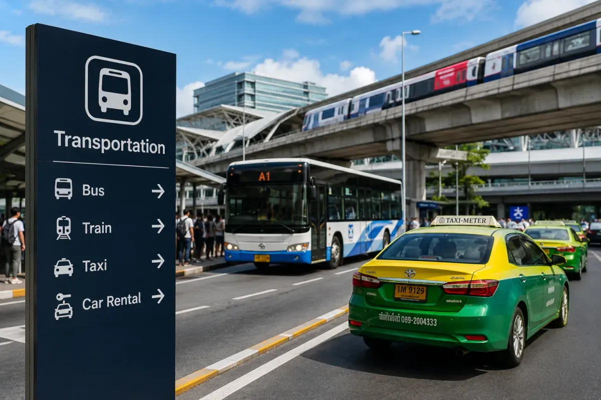
Transportation
Schedules and fares are subject to change.
Airport to City Access
Train, bus, taxi, and other options to the city center
Major gateways are Toronto Pearson (YYZ), Vancouver (YVR) and Montreal (YUL). From Pearson the UP Express train reaches downtown Toronto in about 25 minutes, while Vancouver's YVR is linked to downtown by the Canada Line SkyTrain. Taxis and Uber/Lyft serve all airports at fixed or metered fares. Confirm the current option and price for your specific airport on arrival.
- Toronto
- UP Express train
- Vancouver
- Canada Line SkyTrain
- Everywhere
- Taxi, Uber, Lyft
- UP Express links Pearson to downtown Toronto in ~25 min
- YVR connects to downtown Vancouver via the Canada Line
Public Transportation
Metro, bus, tram, and how to use them
Big cities have solid public transit run by local agencies — the TTC in Toronto (subway, streetcars and buses), SkyTrain and buses in Vancouver, and the STM Metro and buses in Montreal. Service is clean and reliable in urban cores but thins out in suburbs and smaller towns, where a car is often easier. Tap a contactless card or the local transit card to ride.
- Toronto
- TTC subway/streetcar
- Vancouver
- SkyTrain, buses
- Montreal
- STM Metro
- Reliable in city cores, sparser in suburbs
- Tap a contactless or local transit card to ride
IC Cards & Travel Passes
Discount passes and rechargeable transit cards
There is no single national transit card — each region has its own. Toronto and the surrounding area use Presto, Vancouver uses Compass, and Montreal uses OPUS. On many systems you can now simply tap a contactless bank card or phone wallet instead of buying a local card, which is easiest for short visits. For a longer stay, a reloadable regional card can work out cheaper.
- Toronto
- Presto
- Vancouver
- Compass
- Montreal
- OPUS
- No single national card — cards are regional
- Contactless bank card/phone often works, easiest for short trips
Car Rental & Driving
License requirements and traffic rules
A car is the natural choice for road trips through the Rockies, coastlines and national parks. Canada drives on the right, distances are measured in kilometres and speeds in km/h, and roads are generally good. Bring your licence and check whether an International Driving Permit is recommended for your country. In winter, snow and ice make driving hazardous — winter tyres are required or strongly advised in some provinces.
- Drives on
- The right
- Units
- km, km/h
- Winter
- Snow tyres may be required
- Right-hand traffic; distances in kilometres
- Winter tyres required or advised in some provinces
Intercity Travel
Long-distance buses, trains, and ferries
Canada is vast, so intercity distances are large. VIA Rail runs passenger trains, best known for the busy Toronto–Ottawa–Montreal corridor and scenic long-haul routes like the Canadian to Vancouver, though the transcontinental trips are slow and infrequent. Long-distance coaches (such as Flixbus and regional lines) connect many cities more cheaply, while flying is often the practical way to cover the biggest gaps.
- Rail
- VIA Rail
- Bus
- Flixbus, regional
- Long gaps
- Flying is practical
- VIA Rail is strongest in the Toronto–Ottawa–Montreal corridor
- Flights often make sense for the longest distances
Domestic Flights
Budget airlines and booking tips
Given the size of the country, flying is often the sensible way to cross Canada — a coast-to-coast drive takes days, but a flight takes hours. The main carriers are Air Canada and WestJet, with Porter strong in the east and various low-cost options on busy routes. Book ahead for better fares, and remember there are multiple time zones, so double-check local departure and arrival times.
- Carriers
- Air Canada, WestJet
- Eastern hub
- Porter
- Note
- Multiple time zones
- Flying beats driving for coast-to-coast distances
- Watch the time zones when reading schedules
Transportation Tips
Advice for safe and efficient travel
Plan around Canada's scale and seasons: what looks like a short hop on the map can be a long haul, and winter weather can delay or cancel travel, so build in buffer time. Pedestrians should note traffic comes from the left as cars drive on the right. In cities, transit apps and contactless payment cover most needs; for the mountains and remote areas, a rental car with winter readiness is best.
- Distances
- Bigger than they look
- Winter
- Build in buffer time
- Crossing
- Look left first
- Winter weather can delay or cancel travel
- Cars drive on the right — look left when crossing